2361 Laxenburg
GEO Wiki
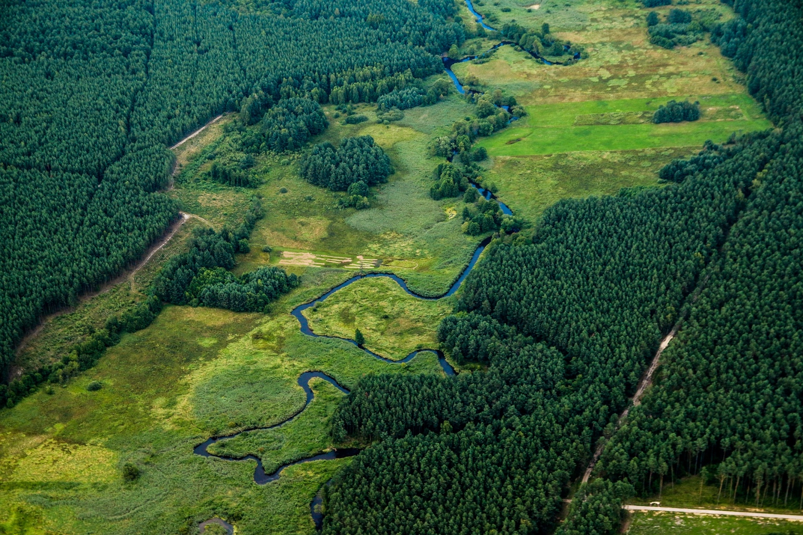
On Geo-Wiki.org you can participate in global environmental monitoring and help to observe and document the earth and what happens on it on a large scale. Whether it is deforestation, the varying size of fields in agriculture or the fast and precise evaluation of hurricane damage - your contribution is important to evaluate satellite images or to check the automatic evaluation of satellite images and existing maps of land use. In this way, you help scientists to create reliable information and accurate maps of the state and changes on our planet. How can this be done? Quite simple! You can take part in campaigns and games and contribute on a desktop computer as well as on mobile devices. The resulting data is open, free and can be used by everyone without restriction.
Video
This project fulfilled version 1.1 of the quality criteria for citizen science projects on Österreich forscht.
- land use