2361 Laxenburg
FotoQuest Go
“Explore the European landscape and help science to protect the climate and the environment!”
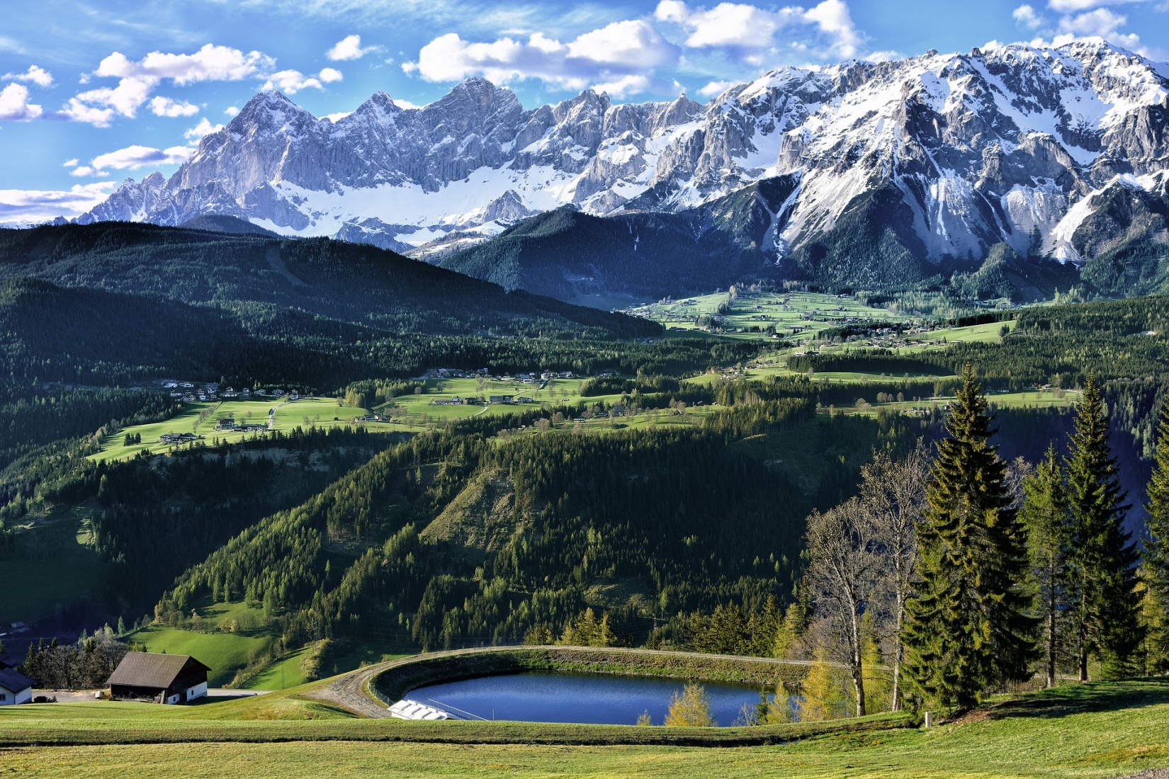
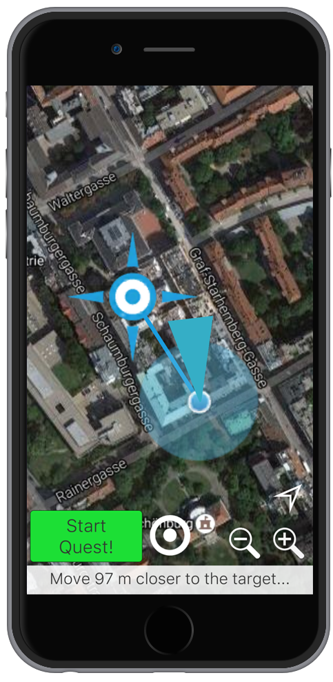
Do you like to be out in the fresh air? Would you like to make a concrete contribution to protect the environment and the climate and earn something in addition? With the FotoQuestGo app, you can use your free time to help science improve important data sets for research into landscape changes in Europe. The app works very simply: with the help of your smartphone's GPS, it navigates you to the place where we lack landscape data and then helps you to save and upload the necessary photos and information.
Why FotoQuestGo?
Every day in Europe, large amounts of land are converted into business, residential, leisure and traffic areas. Fertile soils, biodiversity and natural CO2 storage must give way to asphalt and concrete. In addition, the increasing surface sealing increases the risk of flooding drastically.
In order to better track and understand changes in land areas and their effects on the environment, scientists have so far lacked reliable, detailed and complete data on current land use.
With the FotoQuestGo app you can become a scientist in your free time and protect nature! With every place you explore, you make the data sets a little more accurate. And you collect valuable points for our prize draw. Are you ready for this challenge?
This is how it works:
- Download the app for free on your GPS-enabled smartphone.
- Register a FotoQuest account with your email address.
- Select a destination and use the app to navigate there.
- At the destination, the app will help you take the photos you need:
- If the destination is difficult or impossible to reach (e.g. is on private land): A photo in the direction of the destination.
- One photo in each direction and on the ground. - Answer a few questions and, if possible, take one last, more detailed photo so that the scientists can understand exactly what the local vegetation looks like. For example, it is about finding out whether there is forest or arable land in the place you have explored and which trees or crops can be seen.
- Your photos and pictures will be uploaded automatically. If the connection is bad, you can also save it for later upload.

Tasks on the scientific side (project management):
The tasks depend on the respective campaign. The land use classes are determined by the local citizen scientists. The classes are closely based on the LUCAS (Land Use / Cover Area frame Survey) protocol. For use in the app, the parts of the LUCAS protocol that are essential for scientific processing are prepared in a form that is understandable and unambiguous for citizen scientists. Furthermore, quality assurance mechanisms were developed and applied to ensure the quality of the contributions on the one hand and to give feedback to the citizen scientists on the other hand in order to maintain and increase the quality of the contributions over the course of the campaign.
Tasks of the citizen scientists:
The data are recorded on site. The participants are in nature and can enjoy the environment. Citizen scientists are required to identify changes in land cover and to collect information on land cover at randomly distributed points. This concerns the type of land cover up to the level of e.g. the species of crops grown. Furthermore, the land use is roughly documented, as is the variability of the land cover in the vicinity of the points. This allows an assessment of which classifications can ultimately be used to validate land cover data sets from remote sensing.
- land use